Cycle Babble: Places


This map, then, expanded the distance which cyclists could access "marginal" areas around their city more quickly and easier than they could have in the past.
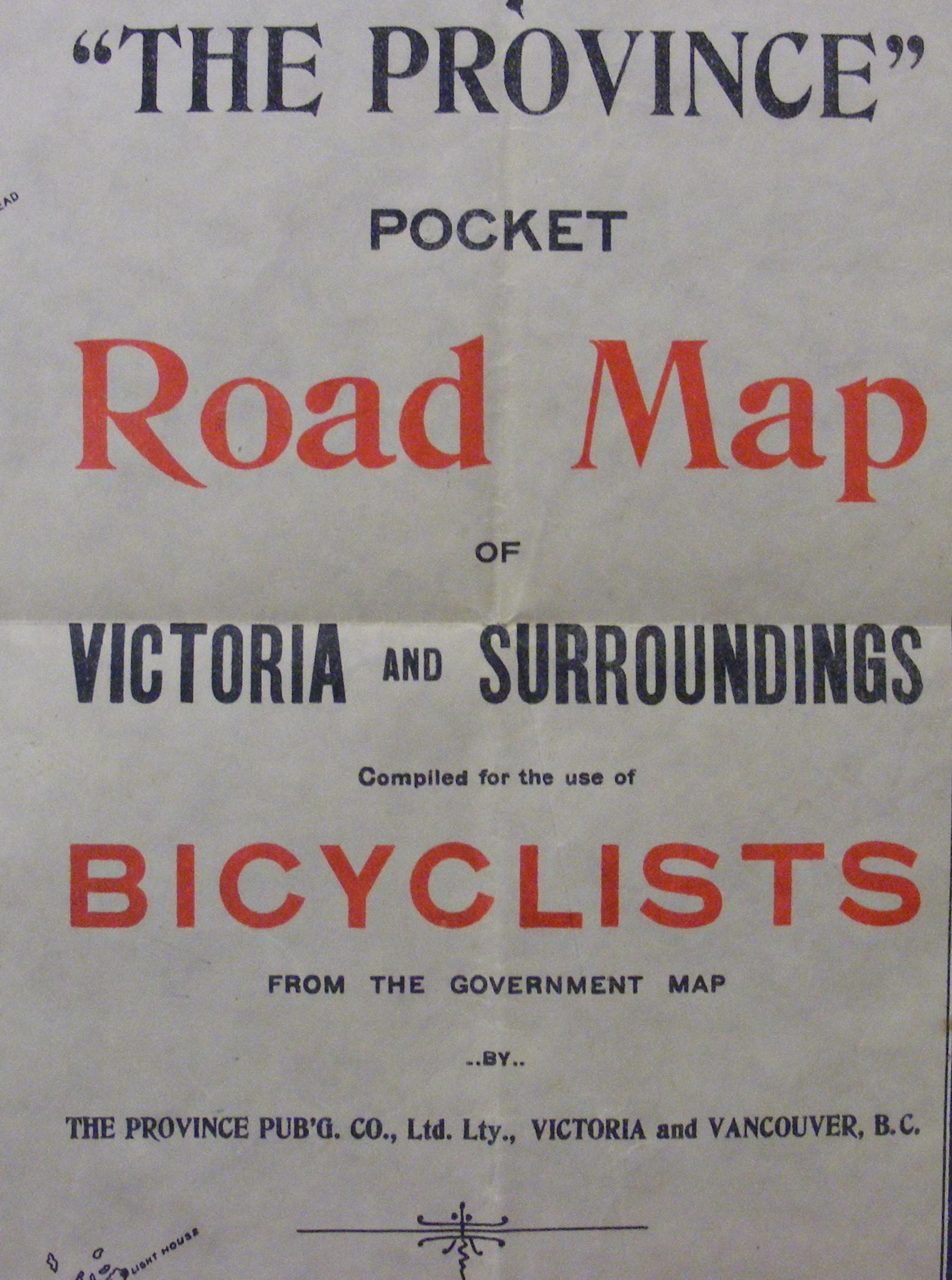
"The single most important impact of the bicycle, in Canada and elsewhere, was to allow bicyclists to travel over land distances that had previously been unthinkable," writes Norcliffe. "It was... a geographically liberating machine, serving as a herald for even greater liberation in the age of the motorcar and aeroplane [sic]... This geographical liberation extended the pulse of modernity into previously marginal regions..."(1) He then describes the impact of bicycles as being a mostly local phenomenon, in "which cyclists travelled ten or twenty miles out of the city into the surrounding countryside."(2) A cycling map of the Victoria region, published in 1897 and held by the UVic Library, demonstrates these points nicely.(3)
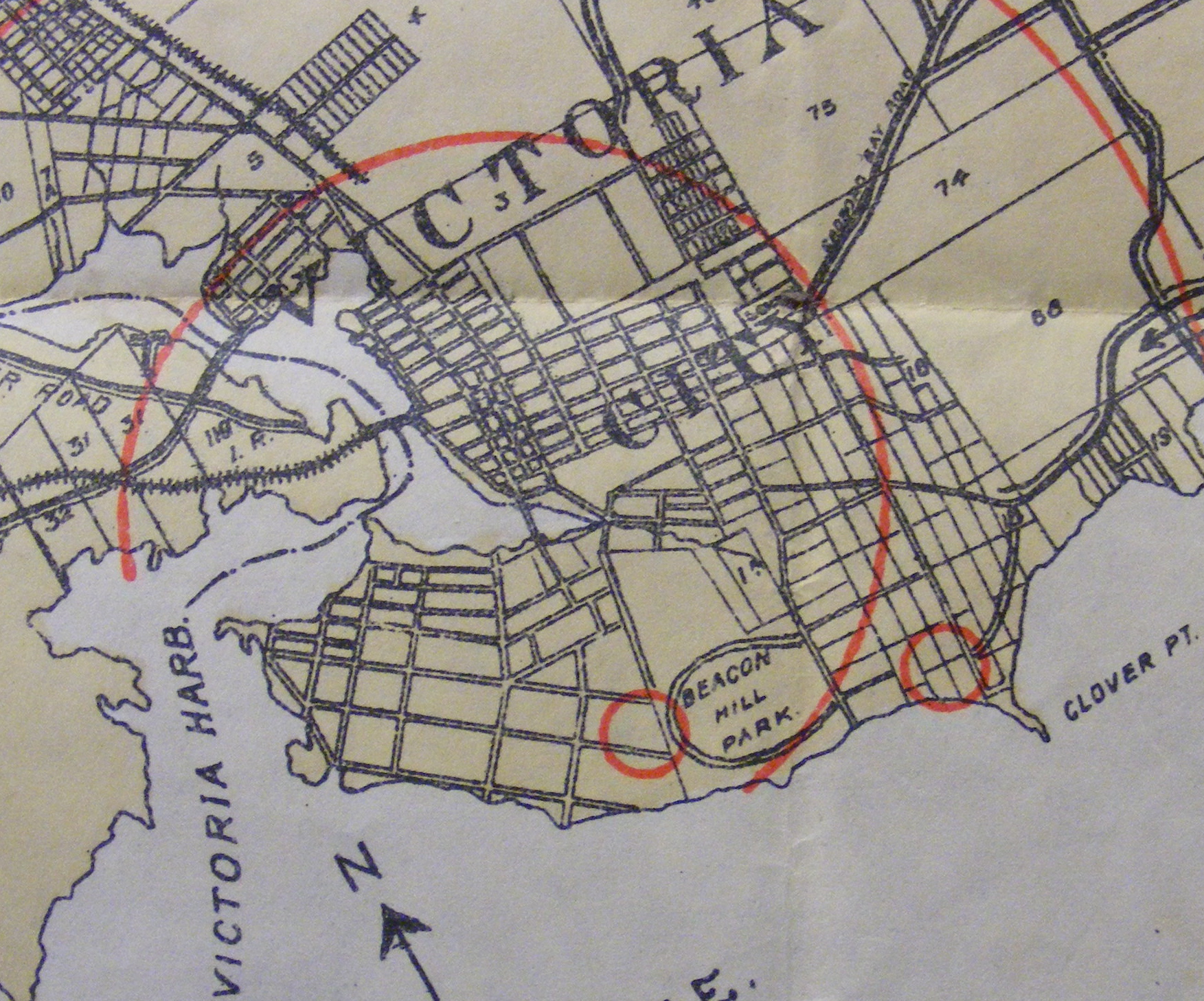
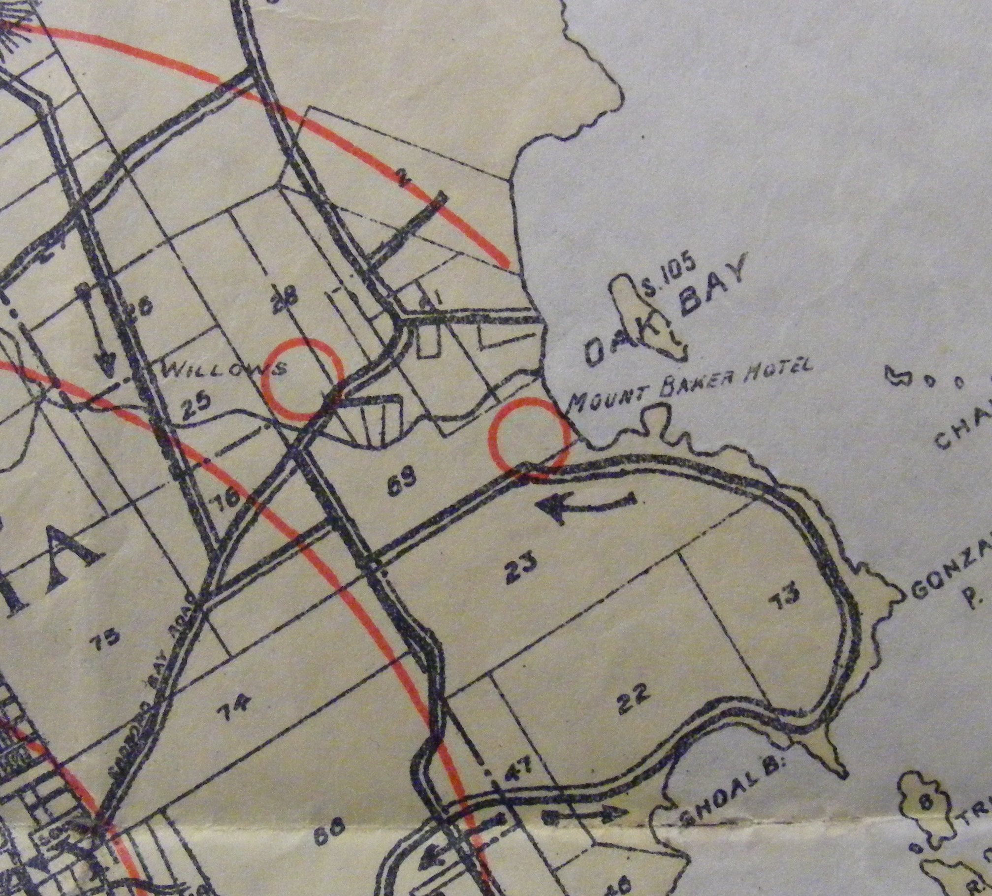
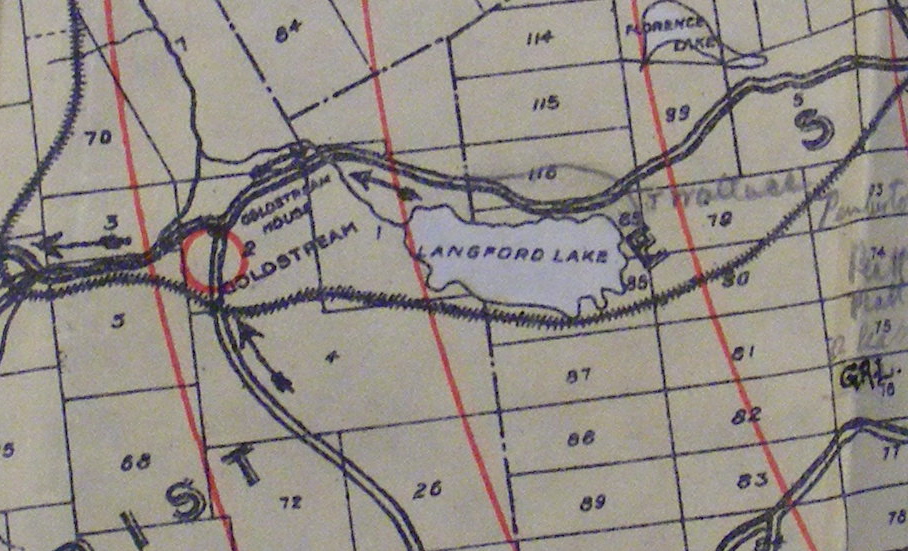
The map shows twenty-three hotels spread through urban and rural areas in and around Victoria. Some are named and some are simply labelled "Hotel," but none of them are precisely marked on the map. (Rather than appearing as dots, the hotels appear as red circles a city block or two wide.) The urban hotels tend to be clustered around popular attractions in Victoria and surrounding municipalities. Two hotels are right next to Beacon Hill Park, a popular place for both racing and leisure riding. The Mount Baker Hotel is located right beside Oak Bay/Windsor Park, another race track. The rural hotels tend to be near pleasant places for cyclists to go to, such as the Sidney Hotel in Sidney, the Mt. Newton Hotel on Sannich Inlet, and Goldstream Hotel along the river for which it was named.
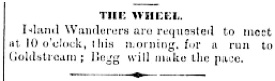
Social trips by bicycle clubs to these destination hotels seem to have been popular. For instance, on July 19, 1891, the British Colonist reported that a ride was planned for the next day by the Victoria Wanderers to Goldstream.(4) This seems to accord with Norcliffe's analysis that "countryside" trips were common outings, and that hotels were a popular place for cyclists to meet for refreshment and relaxation, before, during or after the rides. He even makes the bizarre claim that "the most popular destination within Canada was probably the Half Way House," located conveniently between Kingston and Dunbarton;(5) not many Victoria based cyclists would have agreed, considering how many other options they had closer to home.
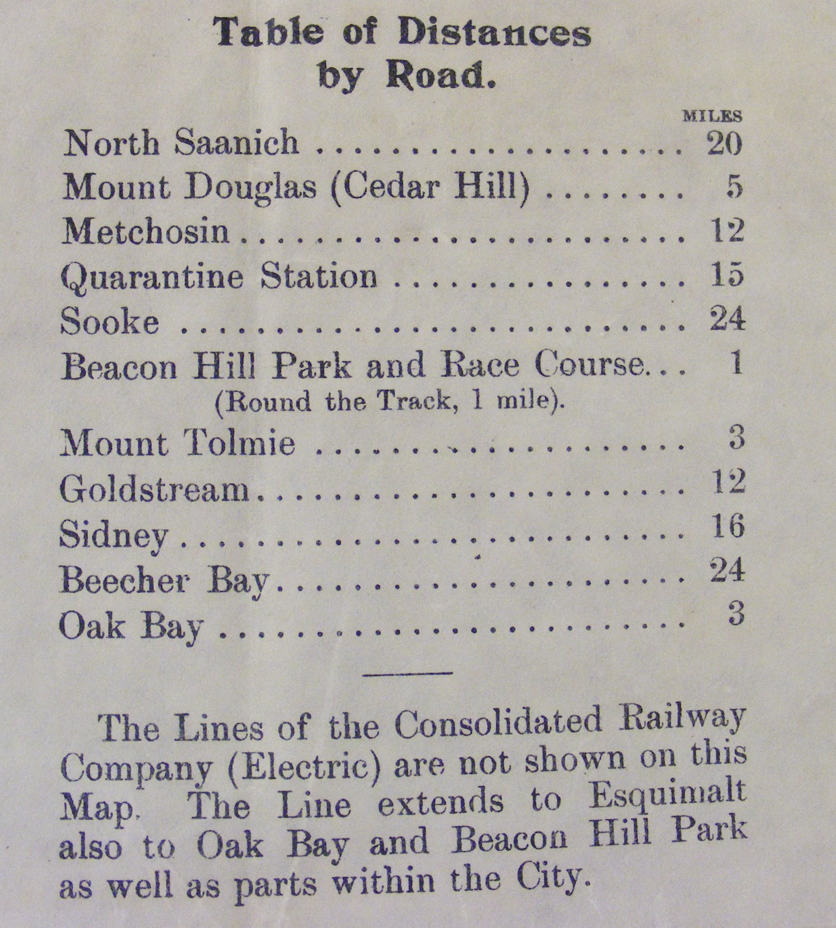
However, Norcliffe is right about train use when he discusses a similar map of Toronto. "Railways are plotted because cyclists frequently took a train out to the countryside and rode home, or vice versa," he reports.(6) The map of Victoria makes a point of not showing the streetcar lines directly on the map, but provides a description of which parts of the city the streetcars served. It also shows the E&N railway (which provided access to areas west of Victoria), and the Victoria & Sidney Railway (which provided access north into the Sanniches). Both railways were important in allowing greater access to these areas, for cyclists and others.(7) The map also lists distances to each municipality from Victoria, for cyclists planning their trips either way.
Maps & Hotels: Rural Oases
Copyright 2009. Vincent Gornall
“The Wheel,” The Daily Colonist, July 19, 1891, page 5, <http://www.britishcolonist.ca/display.php?issue=18910719>.