 |
 |
---------------------------------------------------------------------------------------------------------------------
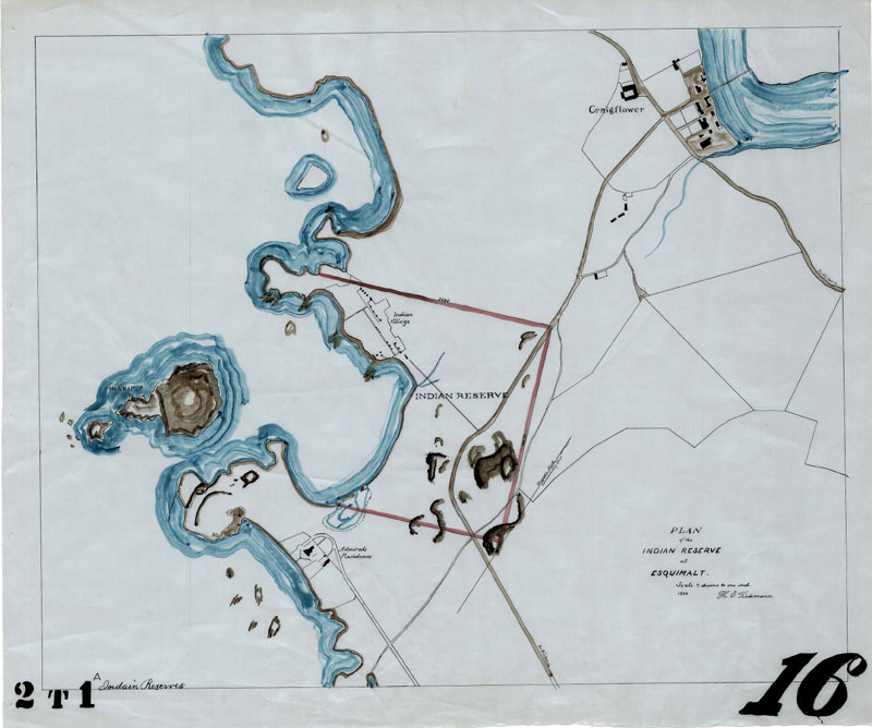
A map of the Craigflower area. The road shown through the center of the map is the one on which Johnston Cochrane was murdered. Note the proximity to the Esquimalt Native Reserve which helped fuel speculation among the press regarding the involvment of Aboriginals in the murder.
---------------------------------------------------------------------------------------------------------------------
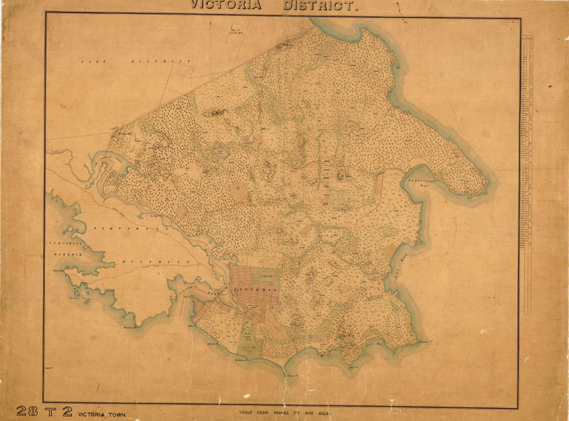
A map from the 1850s showing the larger area of Victoria as it had been settled at the time. Click here for a higher resolution version (336KB).
---------------------------------------------------------------------------------------------------------------------
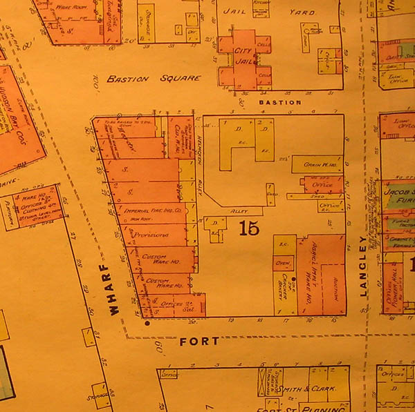
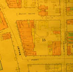
A map showing the Bastion Square police station and the surrounding area in 1885. UBC Specal collections G 3514-V5G475 1885 s2. ---------------------------------------------------------------------------------------------------------------------
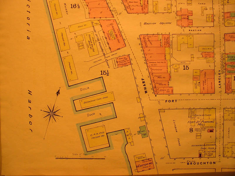
The same map as above, but with a wider perspective, illustrating the police station's location relative to the harbour and the old site of Fort Victoria, which once stood at Fort Street. UBC Specal collections G 3514-V5G475 1885 s2.
|