SchoolShake
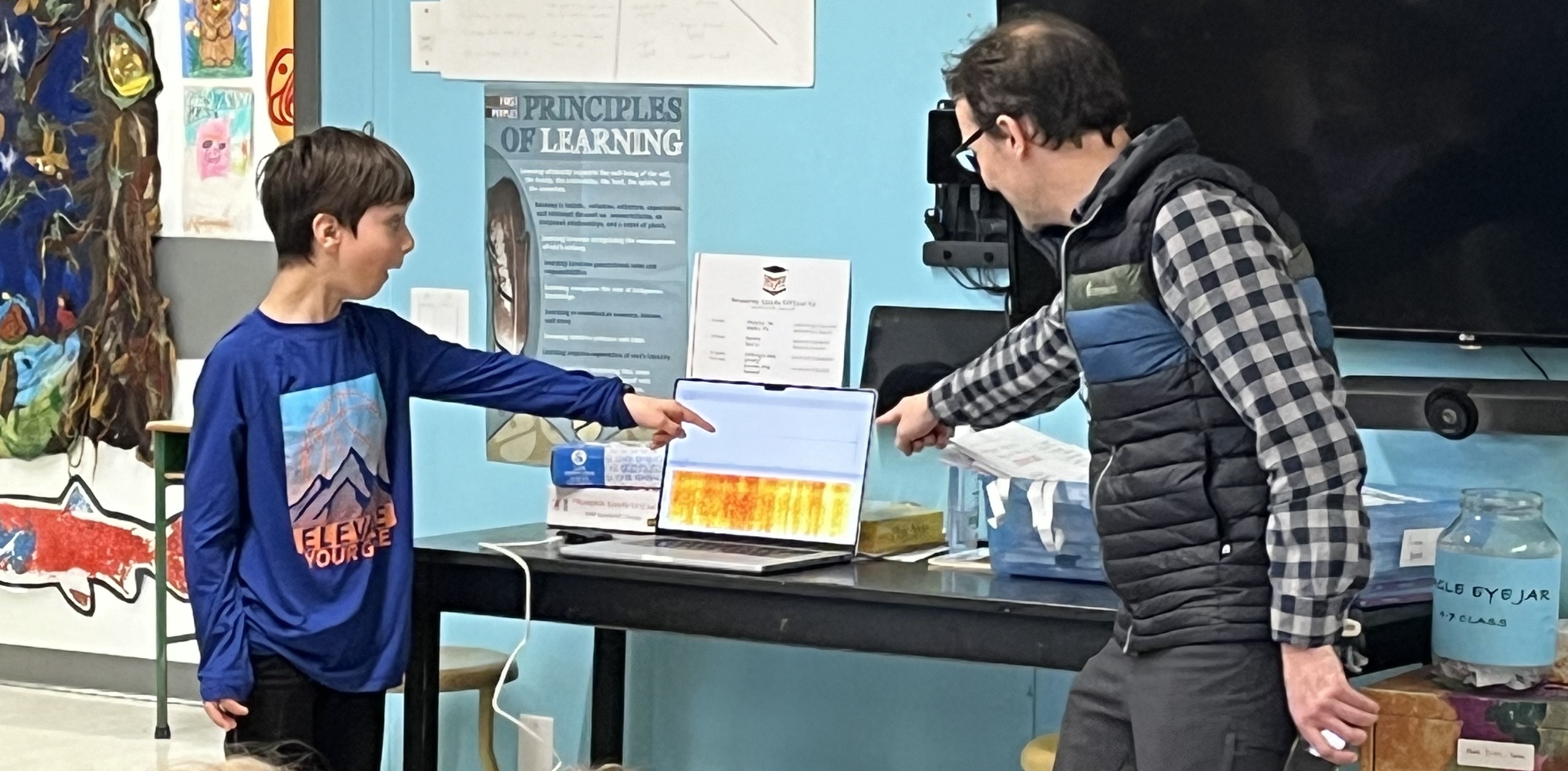
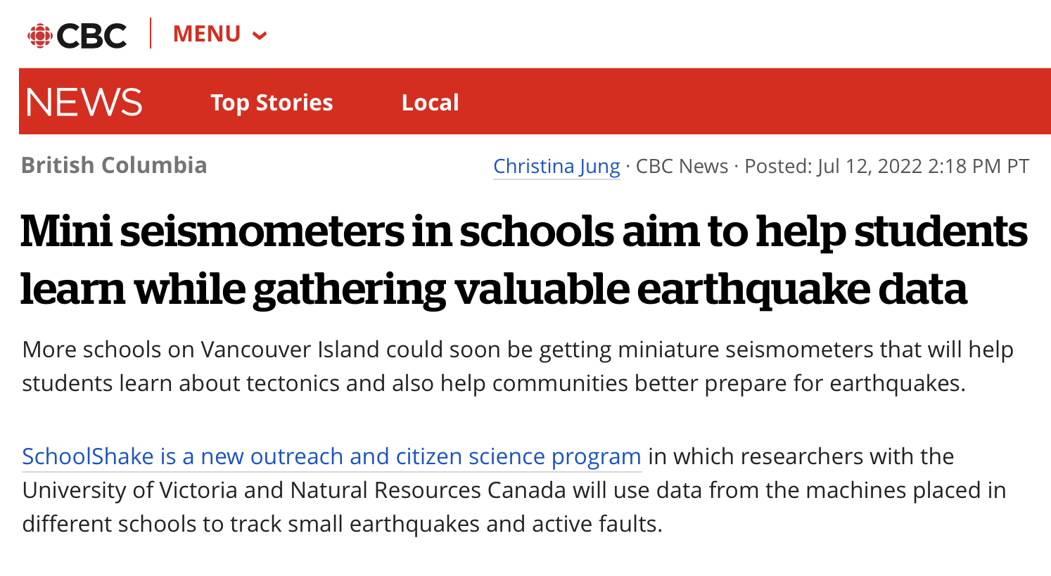
We run the SchoolShake outreach program – a "citizen seismology" project in which local schools are given miniaturized seismometers for dual use in the classroom and for science.
We currently have twenty participating schools on Vancouver Island and Haida Gwaii. If you are interested in participating, or donating an instrument, please visit schoolshake.ca.
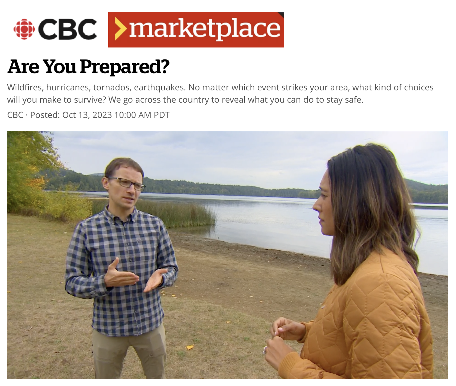
Recent Media Apperances
External links
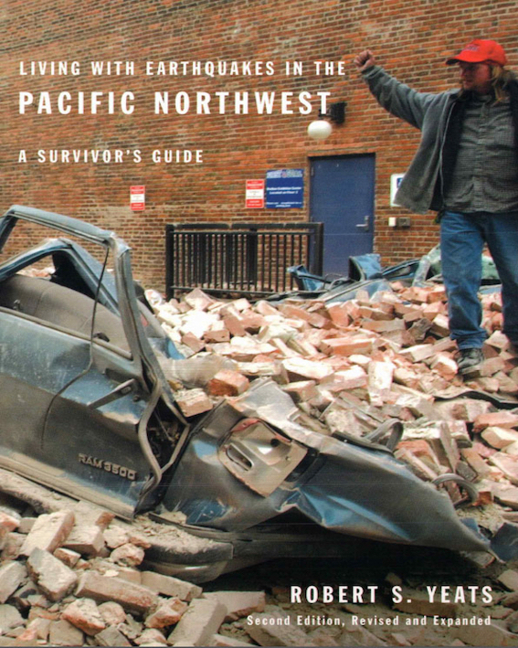
An accessible introduction to tectonics and seismic hazards in the Pacific Northwest by Robert S. Yeats (published by Oregon State University Press). Free to download as a pdf or epub at the link below:
https://open.oregonstate.education/earthquakes/
An informative blog on the latest earthquake news and research, delivered by the makers of the seismic risk app Temblor:
https://temblor.net/earthquake-news/

Science Communication
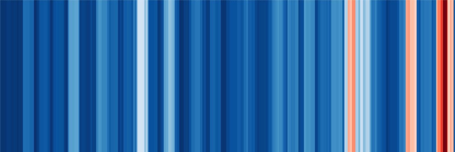
Earthquake Stripes
This image displays annual earthquake fatalities between the years 1600-2015, showing that earthquake risks are on the rise worldwide.
Data are from the USGS and Bilham (2009), with a sliding 10 year window to smooth out bumps. The scale is linear and saturates at 80,000 deaths per year (decadal average).
Iran Underground
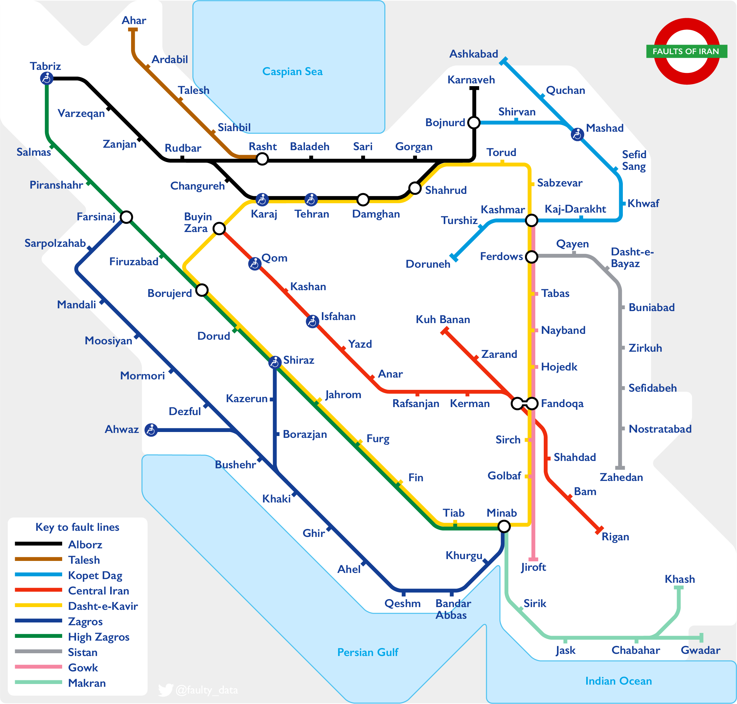
Simplified active fault map of Iran in the style of the London Underground.
Tube lines show the main earthquake belts, and tube stops are major recent or historic earthquakes or cities at risk.
The largest cities (>1M people) are denoted by access symbols.
